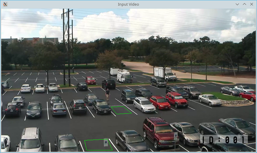
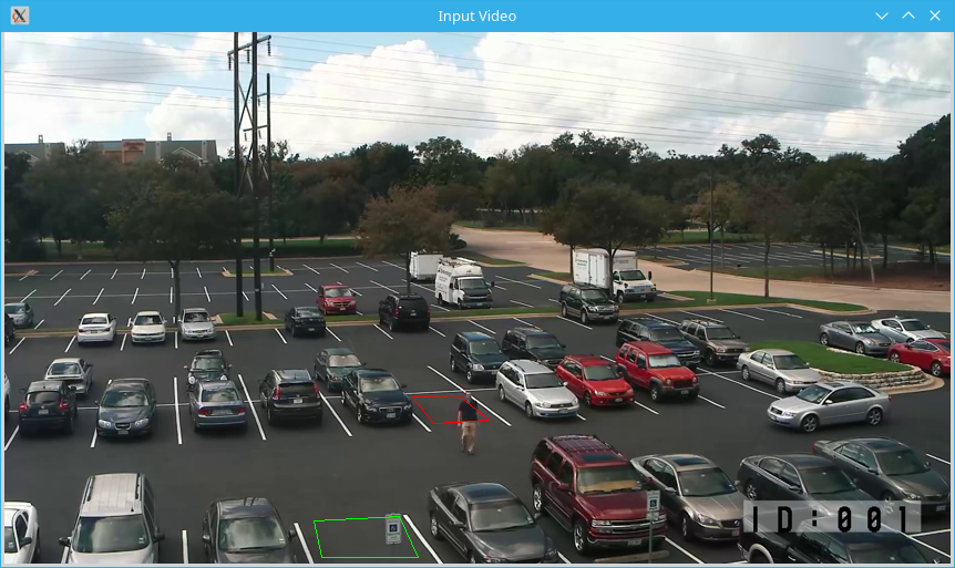
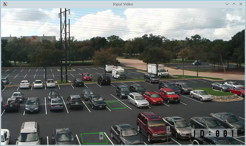
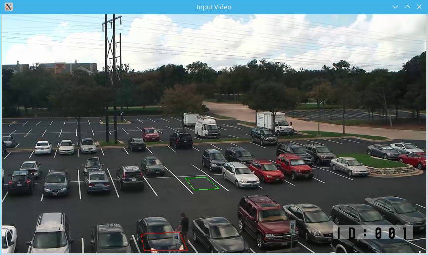
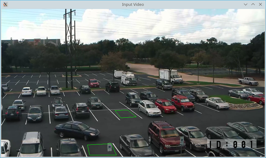
This project is targeted to detect which parking lot (actually any user defined polygon) are occupied by any object.
It uses good computer vision package GoCV (see https://github.com/hybridgroup/gocv) as bindings to Opencv 3.x (https://github.com/opencv/opencv)
As it uses GoCV, first of all you have to install it. Please see steps described here https://gocv.io/getting-started/.
If you successfully installed everything (GoCV, OpenCV, OpenCV-contrib), then you good to go. Just install it via get:
go get github.com/LdDl/goparking- Build
Go to $GOPATH/src/LdDl/goparking folder.
Open terminal in that folder and type:
go build main.go- Configuration
Open example.json file in main project folder and edit fields to fit your needs.
{
  // videoType - type of input. It can be either local file or web-service ("url") or connected camera to your PC ("device")
  "videoType": "url",
  // videoSource - link to your video. If your videoType is "device", then just provide number of that device: for example "0"
  "videoSource": "/datasets/parkinglot_1_480p.mp4",
  // imageResizing - parameter to scale your image (for fast proccessing or other needs). In example it is same as input.
  "imageResizing": [
    854,
    480
  ],
  // showImage - display image or not
  "showImage": true,
  // laplacian - parameter for Laplace Operator (https://en.wikipedia.org/wiki/Laplace_operator)
  // Please see https://docs.opencv.org/3.4.0/d5/db5/tutorial_laplace_operator.html
  // While playng with "imageResizing" you have to change this parameter too to get good results.
  "laplacian": 2.0,
  // areas - array of parking lots.
  // each area has ID (string) and set of coordinates.
  // There are no setMouseCallback() in GoCV package (see https://github.com/hybridgroup/gocv/issues/211),
  // so I can not implement good "GUI" for extracting clicked points on image.
  // For extracting needed points you need to use some 3-d party applications like Paint (Windows) or KolourPaint (Linux).
  "areas": [
    {
      "id": "1t_lot",
      "coords": [
        [
          368,
          329
        ],
        [
          410,
          328
        ],
        [
          437,
          350
        ],
        [
          387,
          353
        ]
      ]
    }
  ]
}- Run
For Linux:
./main -cfg=example.jsonFor Windows:
main.exe -cfg=example.json- Enjoy
If you have troubles please open an issue.
Big thanks to creators and developers of GoCV for providing bindings to OpenCV
And thanks to this project for algorithm template.